|
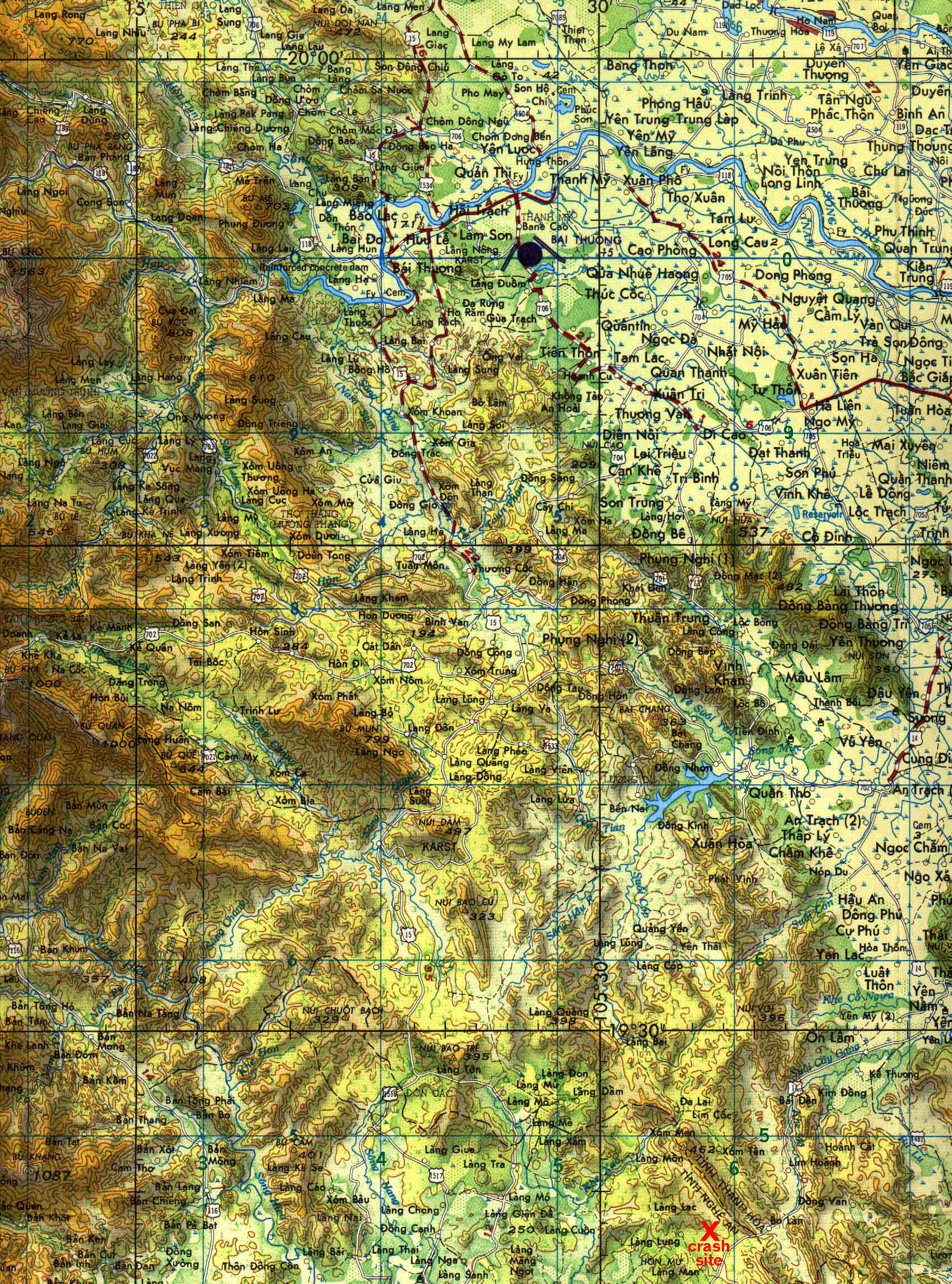
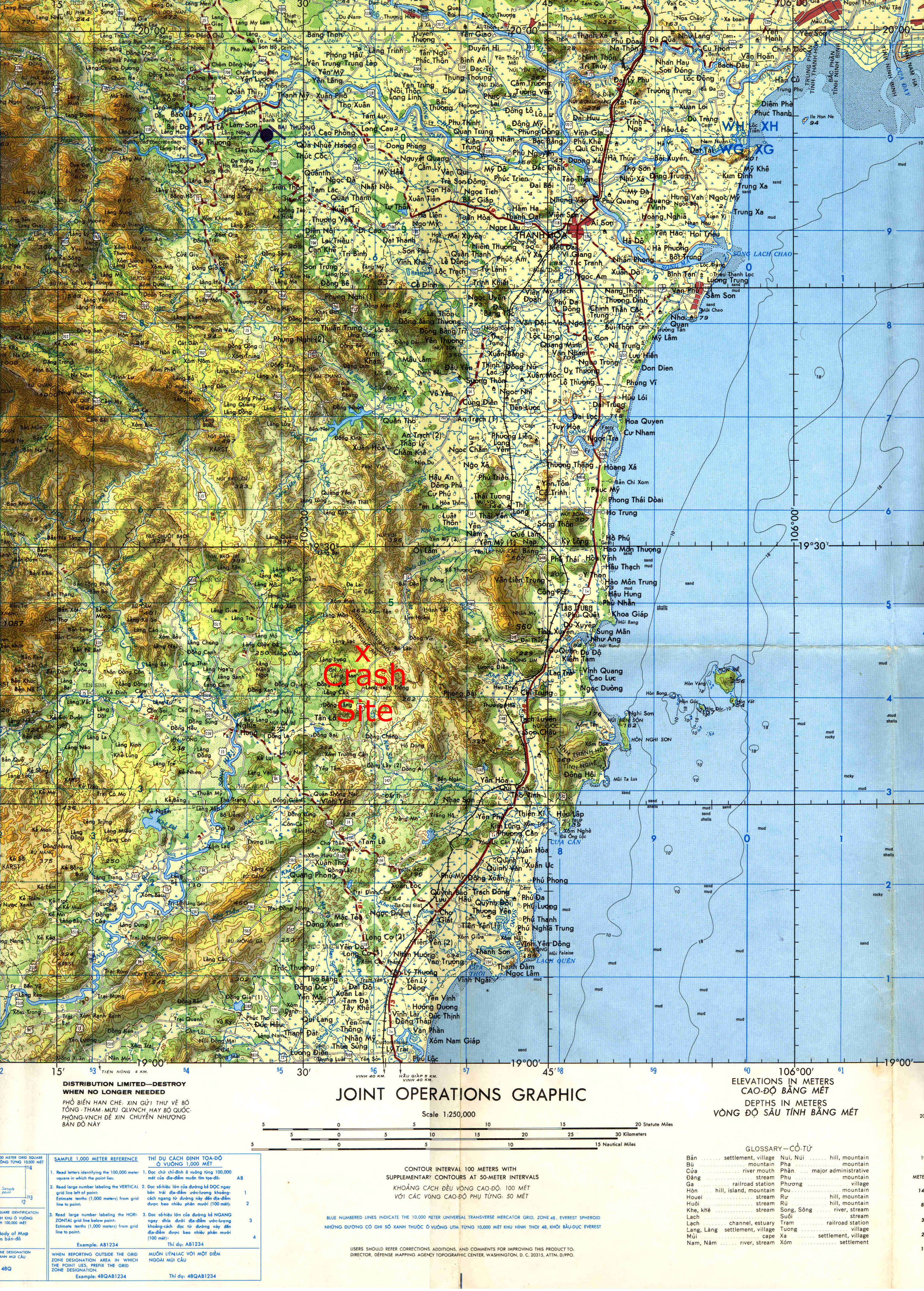
This is the southern area of North Vietnam where Jack's plane was shot down. The reported location when he
was shot down was UTM GC 48Q WG524 542 (Longitude 19 degrees 30 minutes north and Latitude 105 degrees thirty minutes east).
The location where the wreckage was found was UTM GC 48Q WG595 440 or Longitude 19 degrees 24 minutes north and Latitude
105 degrees 34 minutes east.
The above map is an interactive Google Map. Click on icons to see pop ups with info, zoom in for more detail, zoom
out to see the rest of Vietnam, open the map in a new window for even more options like viewing the map in map view or terrain
views.
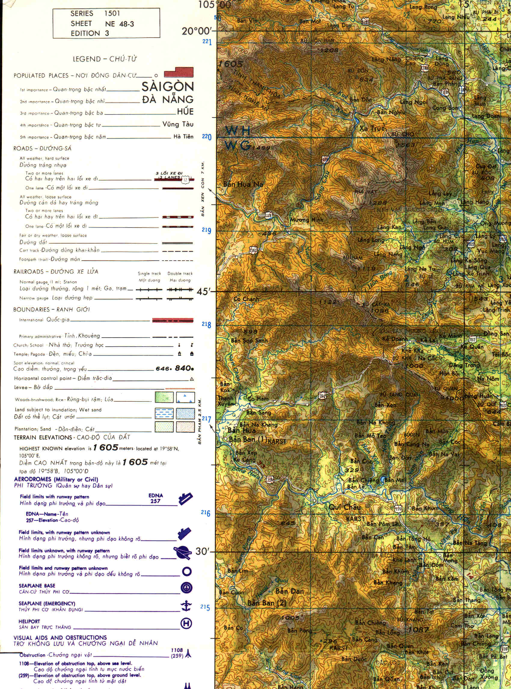
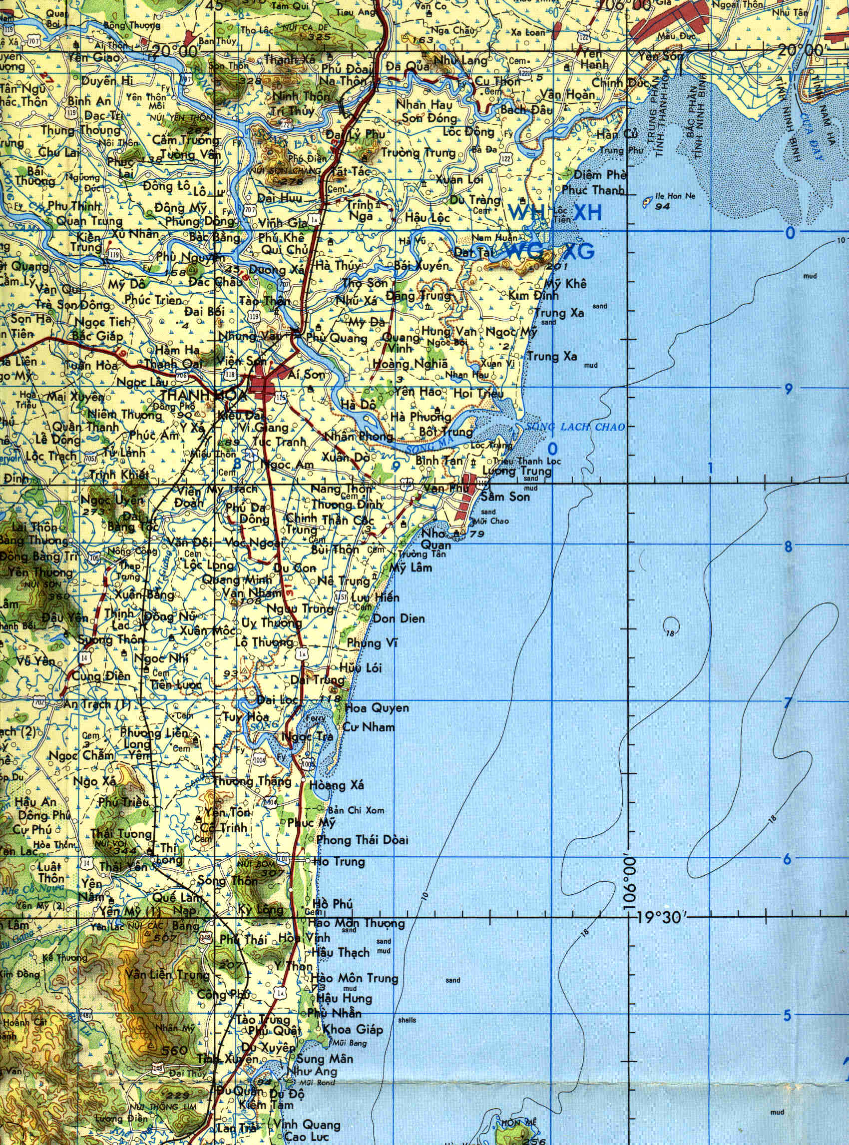
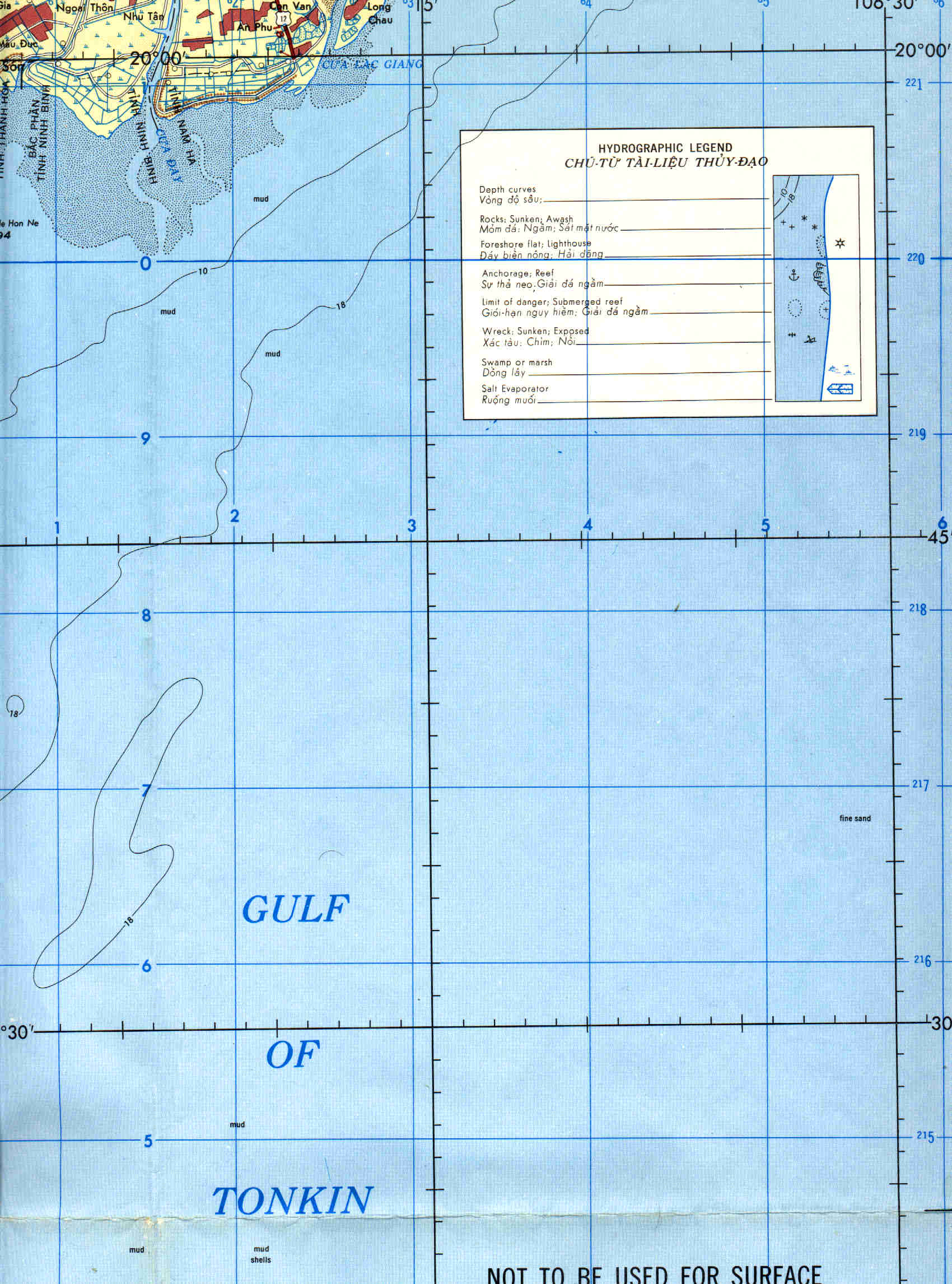
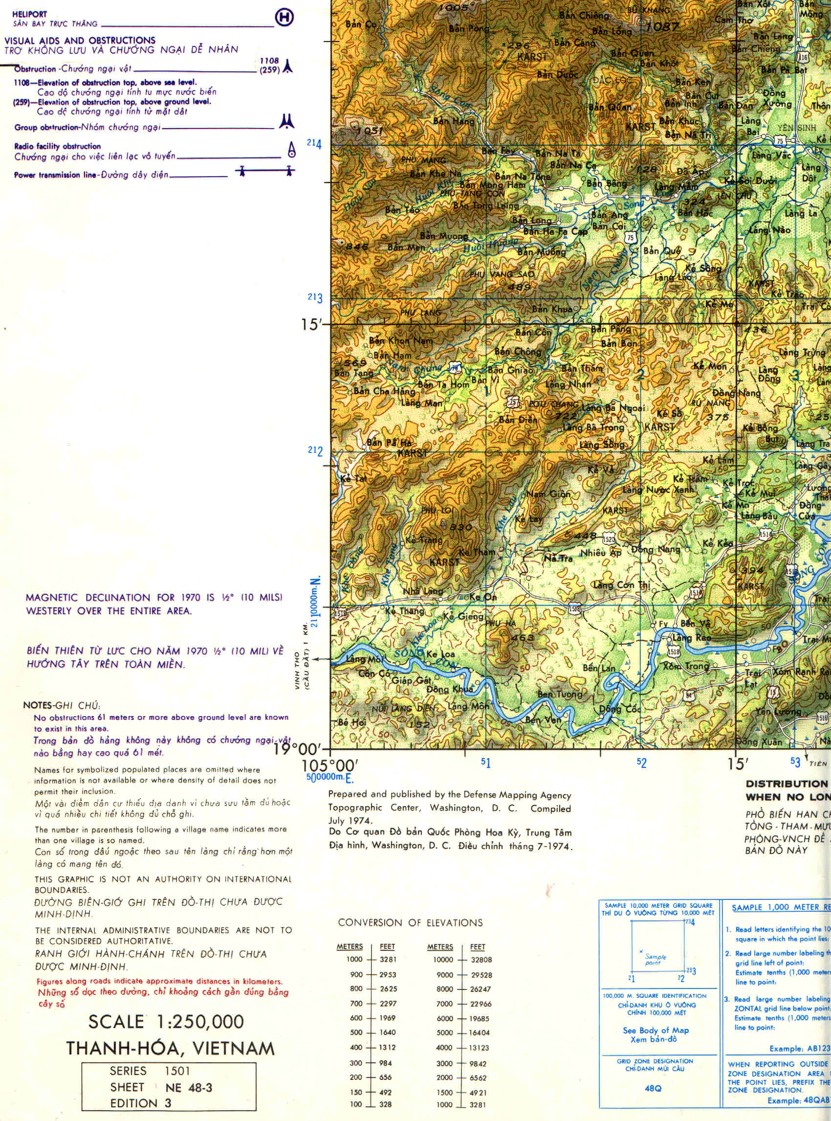
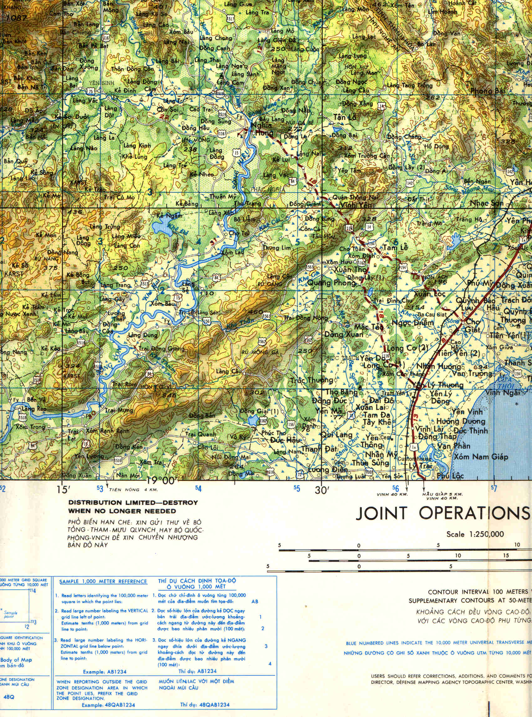
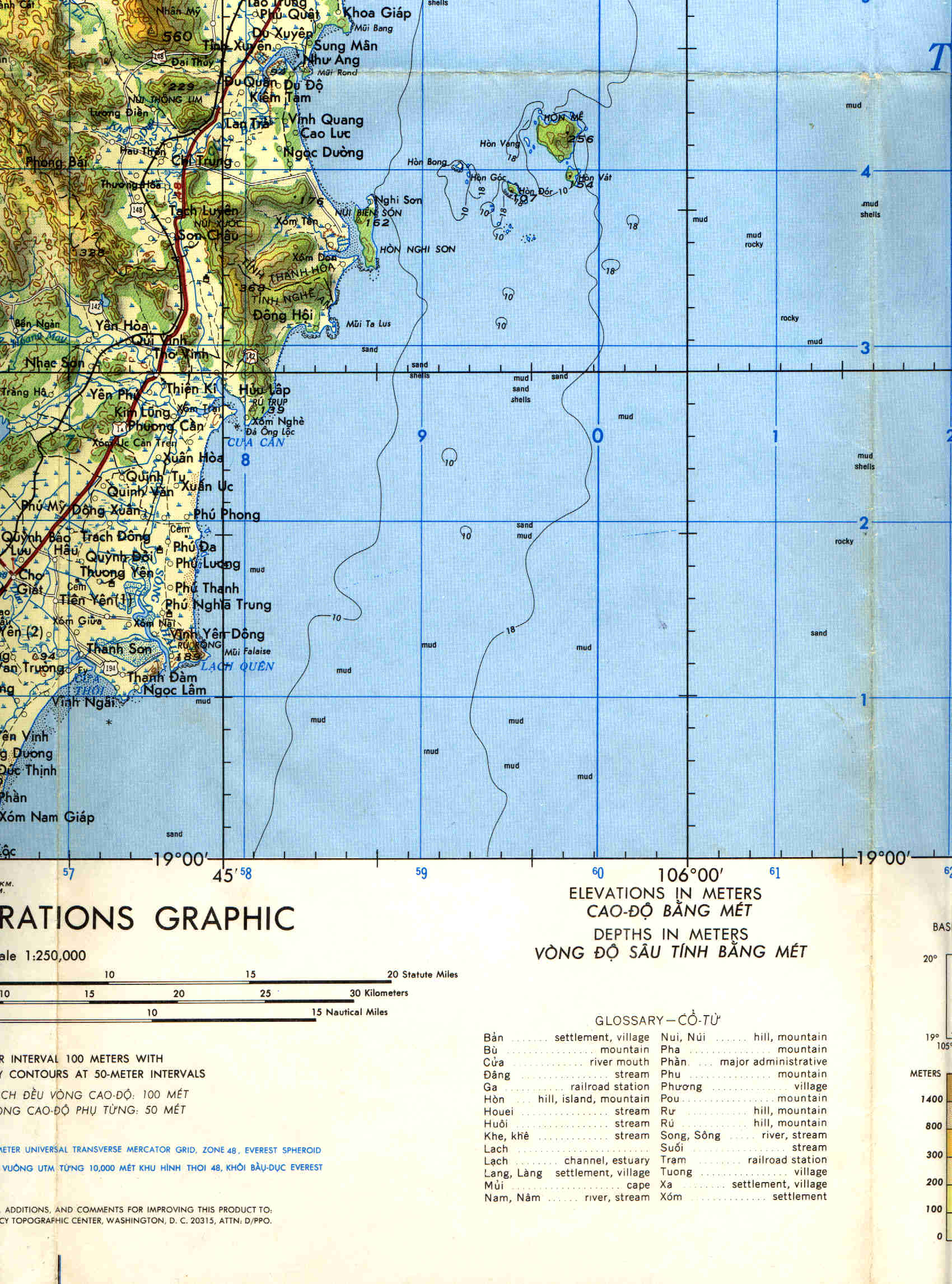
The maps below are static detailed topo maps of the area of Vietnam where Jack's plane went down.
Click on the maps below in the top row and second from the left and a larger view will open in a separate window.
If you have Internet Explorer and are using Windows Vista you can click on that image and view even more detail. The
crash site is located in the lower right corner of this map and is identified as "crash site" with a red X.
The below map may be a little easier to use. Notice the location of the crash site with the red X.
|